
 WEST MICHIGAN — (July 12, 2014) Chances for showers and thunderstorms will increase throughout the day Saturday a few of which could be on the strong to severe side.
The Storm Prediction Center in Norman, Oklahoma has put most of West Michigan into the slight risk category for severe weather this afternoon and evening.
Storms that develop and move into West Michigan have the potential to bring heavy rain, small hail, gusty winds and an isolated tornado. Southerly winds Saturday will help funnel gulf moisture into West Michigan allowing storms abundant moisture to work with meaning that any storm that moves through could bring rainfall totals over an inch.
There are a few chances throughout the late morning and early evening for storms to develop. These storms will likely be scattered and isolated in nature and will likely bring brief downpours, lightning and gusty winds. Most of these morning/afternoon storms will stay below severe criteria.
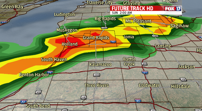
The best chance for widespread storms will occur after midnight Saturday. These storms will likely form in a squall line feature and move rapidly to the east overnight. Overnight storms have the potential to bring straight line winds and flooding rains.
Stay tuned to FOX17 throughout the day and night for storm tracks and updates.
