
 WEST MICHIGAN — After a dry and breezy weekend, big changes are making their way into West Michigan for the start of the work week.
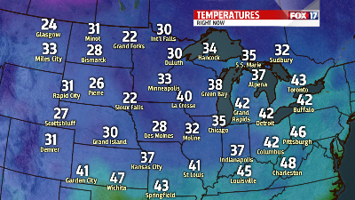
Cold Canadian air will start to move in by Monday morning allowing temperatures to drop throughout the day.
It is likely that temperatures will be warmest in the morning before the cold air arrives by early afternoon. Rain and snow chances will also be possible in the early morning hours. Precipitation should start out as rain in the early morning as temperatures will be in the low 40’s. As temperatures fall throughout the morning, rain will eventually mix in and transition into snow showers.
Temperatures will fall into the mid to upper 30’s by sunset Monday and continue to drop into the 20’s overnight. Cooler temperatures and winds off the lake will confine snow chances to areas west of US-131 by Tuesday.
Temperatures will start to gradually warm as we head into late week with rain chances and temperatures warming into the mid to upper 40’s by next weekend.
