
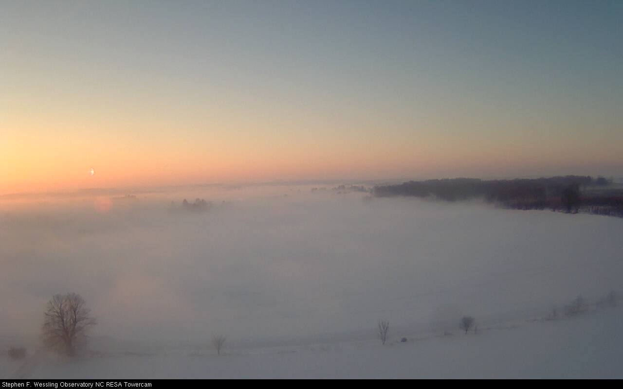
Foggy Sunrise in Hesperia, Courtesy: Tim Deater
WEST MICHIGAN — Calm winds north of Interstate 96 caused areas of patchy dense fog to form dropping visibilities to near zero in some areas. Patchy fog will stick around for the first half of the morning as winds stay calm and temperatures warm. As air temperatures warm this afternoon, low-level clouds and fog will be possible in the north and along the Lakeshore where there is still a large amount of snow on the ground.
Afternoon high temperatures will warm into the low 40’s today, allowing for a good deal of melting throughout the afternoon. Temperatures remain mild through the overnight and for the start of Sunday however a cold front will move through the area around noon-time and will bring in some much cooler temperatures. Temperatures will drop steadily behind the cold front Sunday afternoon with temperatures dropping into the teens by early evening and even single digits in some areas by Monday morning. Cold arctic air settles in for the beginning of next week and continues into the New Year as afternoon highs struggle to reach into the teens.
Cooler temperatures and northwesterly winds will also allow for lake-effect snow showers to form as we head into the beginning of next week. Snow chances will be possible almost every day next week as we start 2014 cold and snowy.
