
GRAND RAPIDS, Mich. — It sounds like some sort of evil, bizarre spiral from a science-fiction movie, but the “polar vortex” is a real weather phenomenon that is almost always around in some fashion — we just rarely have a reason to talk about it in West Michigan.
Now, there are some members of the media who are suggesting the polar vortex is some sort of ‘Arctic hurricane’ or other powerful weather system; that isn’t really a valid comparison. While it does rotate in a fashion, the polar vortex really refers to the area of upper-level low pressure (and associated wind pattern with the polar jet stream around it) that develops with the core of the coldest air in each hemisphere. This cold core meanders throughout the year, but is most prominent in the winter months.
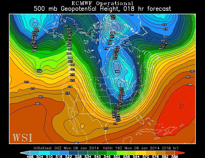
The polar vortex (which can often break into multiple, smaller cores) is often found over northern Canada and Siberia. The below image is an example:
A typical “polar vortex”
Notice the blue and purple colors located in northern Canada — that bull’s eye pattern is a typical location and representation of the polar vortex. If you’re having trouble reading the map, look for the white lines in the orange-shaded areas; you’ll see the outlines of California and Florida.
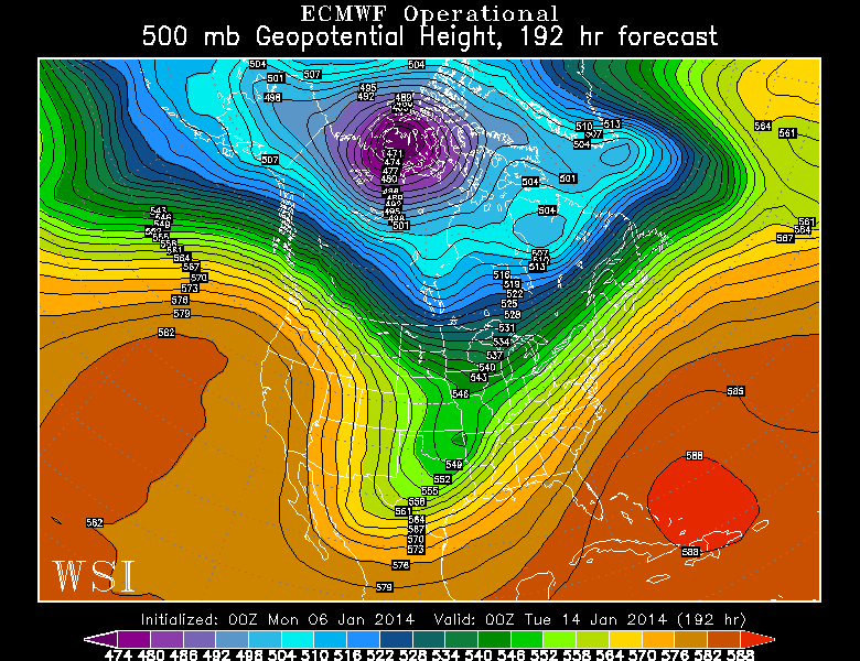
However, on occasion, part or all of the polar vortex can be displaced southward in the winter months. Generally, a cold outbreak in West Michigan means we’ll be grazed by the edge of it as the jet stream sags southward. But it’s rare that the polar vortex drops this far to the south:
The “Polar Vortex” Monday
You can see a big part of that blue bull’s eye sitting right over the Great Lakes in this computer model forecast for Monday afternoon. By contrast, much milder air is allowed to push all the way northward into the Arctic regions of western Canada and Alaska.
If there’s good news, it’s that the cold air will slowly retreat back into Canada through the middle of this week. You can check out the full forecast and more updates on the Weather page.
