


GRAND RAPIDS, Mich. — It's almost second nature for our team of meteorologists to arrive at a winter forecast, but it takes time and thought. There are several factors we consider when forecasting snow. Is it system snow from a low-pressure area, or lake-effect snow? In many cases, it could be a combination of both and it may carry on for days. Here are some things we look at when arriving at a winter forecast.
First, the track of the storm needs to be considered. Canadian systems or Alberta Clippers (as they're called) typically have less moisture than a storm system coming out of Texas that can draw up additional moisture from the Gulf of Mexico. That could mean less snow overall, but there may be a colder outbreak that follows since the Canadian system is likely bringing colder air from the north. See the image below.
Pacific storm systems also seem to have less moisture, but if they hook south before moving into the Great Lakes, that can change. Keep in mind if significant cold air is in place, these Canadian Clipper systems will likely produce a higher snow ratio, translating into lighter/fluffier snow and higher totals. The general rule of thumb for snow ratios is one inch of liquid precipitation equals about ten inches of snow. That's a 10:1 ratio. In sharply colder air, that ratio may be more like 20:1. That means 20 inches of snow for the same one inch of liquid precipitation.
Second, meteorologists look at the temperature profile before and during the storm for the reasons stated above. Temperatures in the mid/upper 30s could be a mix of rain/snow, thereby reducing snow totals. Temperatures around the freezing mark could produce freezing rain or ice (in addition to snow), again reducing totals. Temperatures just below freezing would signify a high moisture content, good packing snow with perhaps less accumulation. Teens and lower 20s will produce lighter, fluffier snow that could add up quickly.
Third, we also look at the strength of the low-pressure system itself. How fast the air rises can be directly related to snowfall totals and stronger systems. Thunder snow can occur with much higher totals if the vertical lift with a system is very strong. Lower barometric pressure can mean stronger winds that could drive blizzard conditions instead of just simple snowfall. See the image below.

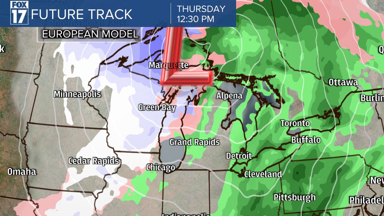
Lastly, we arrive at our conclusions by looking at several different computer forecast models that output precipitation type, amount, and the timing of each event. For you weather geeks, forecast models such as the GRAF, HRRR, NAM, GFS, European, and Canadian are examples. As Meteorologists, if we don't agree with the forecast models, we'll typically hand-draw snow maps and totals for more clarification and accuracy. See the images below.


There are cases when a low-pressure system may bring us snow, then accumulating lake-effect snow commences behind the system once it departs with colder air. Again, there are specific criteria that need to be present for significant lake effect to occur. Wind fetch, speed, and direction are all important, but there are two items that are equally important. One, the temperature inversion (where temperatures actually warm above the surface) must be high enough for significant lake effect to occur. Typically, that's at least 7,000 to 8,000 feet or higher above ground level. Second, the column of air must be saturated or moisture-laden. Without these, lake effect will only be light snow showers or flurries. Wind direction will also play an important role in who sees the heaviest snow. A northwest wind will favor snow south/west of Grand Rapids, whereas westerly winds will drive the snow all the way inland to the U.S. 131 corridor.
Weather is a science! It's not an exact science, but it can be complicated. All of these parameters, almost a checklist of sorts, need to be considered each time with every event. So as one can see, it can become cumbersome over and over again as time needs to be allowed to "forecast" the weather. The typically three minutes of TV time you see us on air is misleading, as so much more preparation and analysis has occurred long before we step in front of the camera.
Our winter weather outlook for the 2022-23 season is calling for above-average snowfall. We are expecting a moderate La Nina, plus we had record lake effect snowfall in November, so we're already running above normal. While normal season snowfall in Grand Rapids in about 78 inches, our FOX 17 Weather Team is forecasting about 90 inches or more this season. Lake Michigan water temperatures are still well into the 40s this late in the season. Any marginally cold weather outbreak can/will likely drive lake effect, which has the potential of producing above-average snowfall.