


WEST MICHIGAN — The Storm Prediction Center has placed all of Lower Michigan under a marginal risk for severe thunderstorms on Saturday. The primary threats include damaging wind gusts and hail. See image below.

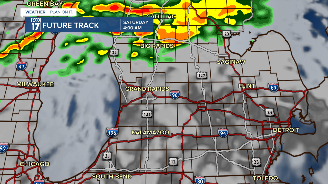
Pop-up showers will begin this afternoon and evening and continue into early Saturday morning. Heavy rain will be possible near Big Rapids and Cadillac early Saturday morning.
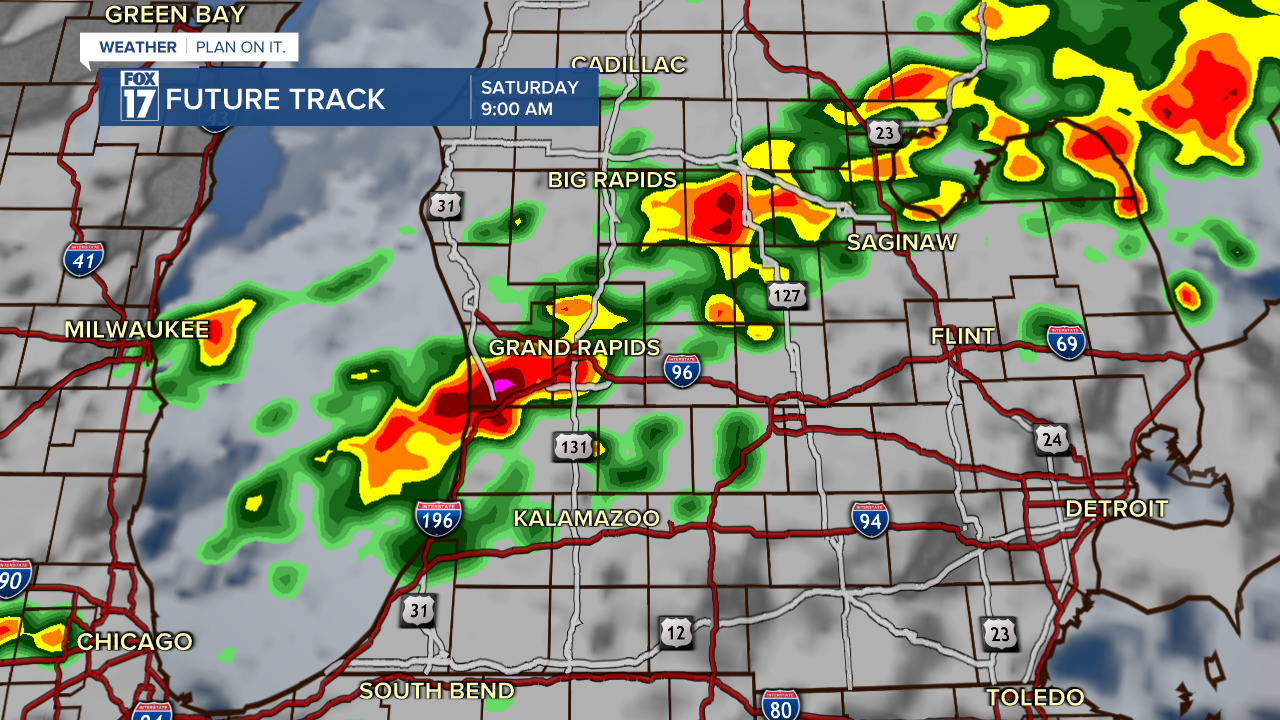
The strongest thunderstorms are anticipated to develop in the late morning on Saturday. Below is a forecast model representing the projected satellite and radar by 9:00 a.m. Saturday.
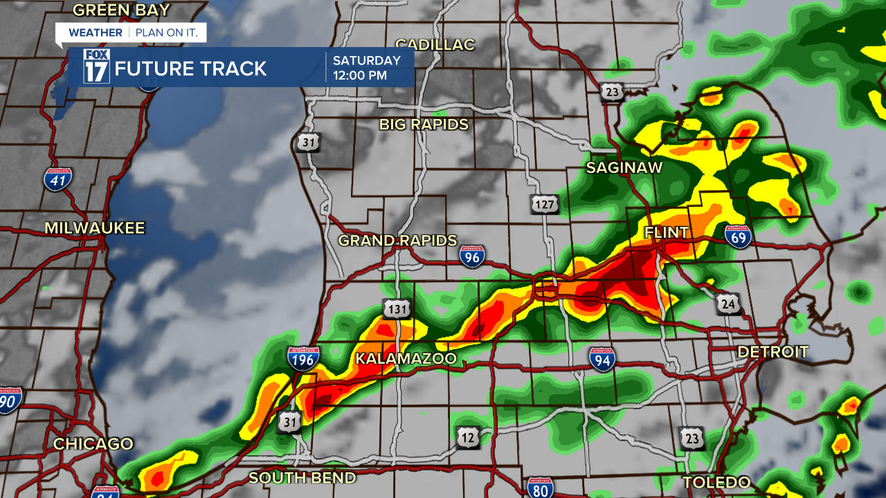
Scattered showers and thunderstorms will progress through the early afternoon. Heavy downpours and frequent lightning are likely at times. The primary severe weather threats include wind gusts over 60 mph and hail over one inch in diameter.
The best way to stay informed during severe weather events is to download the FOX 17 News App or the FOX 17 Weather App for immediate alerts. You can also follow FOX 17 News on social media, watch FOX 17 News on-air, or visit our website.
For the latest details on the weather in West Michigan, head to the FOX 17 Weather page.
Follow FOX 17: Facebook - X (formerly Twitter) - Instagram - YouTube
