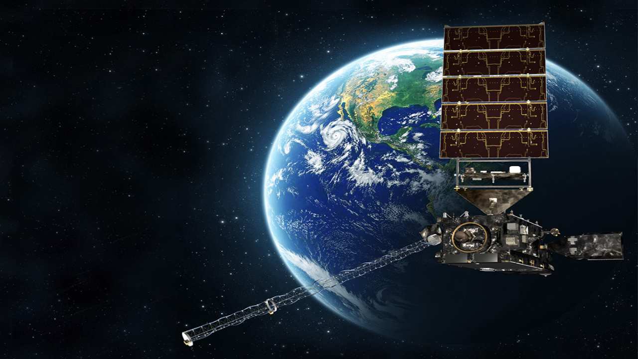
NOAA/NASA - The NASA space administration has launched a new satellite to help meteorologists predict and forecast the weather. Once in orbit and tested, its data will be retrieved and utilized by NOAA, the National Oceanic Atmospheric Administration. The satellite, GOES T, will eventually be renamed GOES 18 once everything is working properly and is fully online.
There are hundreds of satellites circling the globe for various purposes. Defense, weather, communication, just to name a few. These GOES satellites, or Geostationary satellites rotate in sync with the Earth, so that means it takes hundreds of images (or pictures) every second and sends them back to Earth from the same spot. Put together over time, it can give the illusion of a movie or movement from 22,000 miles in space.
This particular satellite has something known as GLM, or Geostationary Lightning Mapper. It becomes of particular interest to severe weather forecasters that monitor the potential for tornadic storms. Commonly, lightning can become quite intensive just prior to a storm dropping or producing a tornado. That becomes a precursor to the development of tornadoes that meteorologists can look for. That means possible longer lead times for forecasts and for tracking these severe storms.
GLM can also detect longer, more continuous-current lightning strikes. This plays a huge role in the development of wildfires. These lightning strikes can be observed via the GLM satellite, and wildfires may be dealt with before they become out of control. So the technology is incredible to say the least regarding both the severe weather and wildfire forecast potential.
Since GLM senses light, it can also detect a solar flare in conjunction with electromagnetic radiation from the sun. That means the potential of forecasting when we may/may not see northern/southern lights or a Borealis. It also means circumventing possible detriments to communications on the Earth that can be damaged by such radiation. In short, this GOES T satellite is truly the latest and greatest state-of-the-art for all of these reasons.
Specifically, this GOES satellite will be placed over the Pacific Ocean and western United States with a footprint or coverage as far east as the Mississippi River. The very first weather satellite was launched in 1960, and they allow us to see a birds-eye perspective of things like hurricanes, cloud cover, severe storms, and they can sense things like temperature (sea surface temperatures are a perfect example)
As a meteorologist, we live in an exciting time. Just a few decades ago, there were so many things we did not have at our disposal that we now have. These tools allow us to forecast more accurately, and can, in fact, save lives during severe weather events. You can get a ton more information on GOES T by clicking here https://www.nesdis.noaa.gov/next-generation/goes-t-launch


