WEST MICHIGAN — Sunday will be a "weather aware" day in West Michigan! All eyes are on the potential for severe storms developing due to system moving in. While we are still several days out, and many factors could change, ingredients in the atmosphere are starting to line up for the potential of severe weather. All severe weather elements are possible with this storm system. The main concerns are damaging wind gusts, flooding, and hail. While the threat is low at this time, an isolated tornado can't be ruled out.
Under the DAY 3 Convective Outlook, the Storm Prediction Center has already placed West Michigan under a SLIGHT RISK. This essentially give us an indication that severe storms are becoming more likely on Sunday.

In their discussion on Thursday, the NOAA Storm Prediction Center released this statement:
"A rather potent mid/upper shortwave trough for this time of year will develop eastward from the Mid/Upper MS Valley to the Northeast/Mid-Atlantic vicinity Sunday and Monday. At the surface, a deepening low will move across IA and WI/MI on Sunday, before lifting east/northeast across Ontario and Quebec on Monday. A trailing cold front will sweep across the Midwest and likely be approaching the I-95 corridor by Tuesday morning. Enhanced mid-level southwesterly flow associated with upper trough atop a very moist/unstable boundary layer will set the stage for a multi-day severe weather episode ahead of the eastward-advancing cold front. All severe hazards appear possible on Sunday from portions of eastern IA through southern WI/MI into much of IL/IN, northern KY, and western OH, as a linear convective system moves east across the region. Tornado potential likely will be focused closer to the surface low track, and along a warm front extending from the low east/southeast across parts of southern WI/MI into northern IL/IN. The system will continue east on Monday, impacting portions of the upper OH Valley/Lower Great Lakes/central Appalachians vicinity. The surface low will be shifting further northeast into Canada. Nevertheless, large-scale ascent associated with the upper trough, and moderate vertical shear atop very moist and unstable boundary layer will continue to support severe convection ahead of the eastward advancing cold front. Damaging winds will likely be the greatest concern on Monday."
Breaking that down in layman's terms, it means that a system will develop on Sunday that could be strong enough to produce damaging wind gusts, hail, heavy downpours, and an isolated tornado. In West Michigan, our main concerns will be damaging wind gusts and heavy downpours. The potential for heavy rain will be especially high on Monday, which could lead to flooding.

In order for a storm to be considered severe, it must have wind speeds at least 58 mph and/or hail at least 1" in diameter. The National Weather Service is in charge of issuing Severe Thunderstorm Warnings.

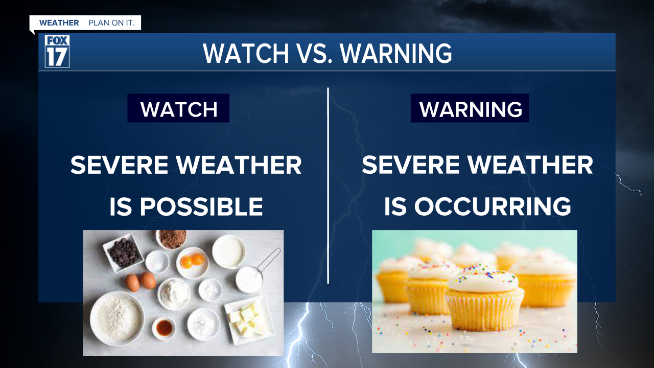
A good way to remember the difference between a watch and a warning is through cupcakes.

A Severe Thunderstorm Watch means that we have all of the ingredients in the atmosphere possible for a severe storm to develop. With the correct combination of ingredients, we could get a Severe Thunderstorm Warning.
In describing this with cupcakes, if we add the incorrect amount of sugar or flour to the batter, we might not get the perfect cupcake. This is similar to weather. If we don't get the right moisture or instability in the atmosphere, we might not get a severe storm.
The best way to stay alert during active weather days is by downloading the free FOX 17 Weather App, following us on social media, and watching FOX 17 News. As soon as a Severe Thunderstorm Warning is issued in West Michigan, we will notify you immediately.


