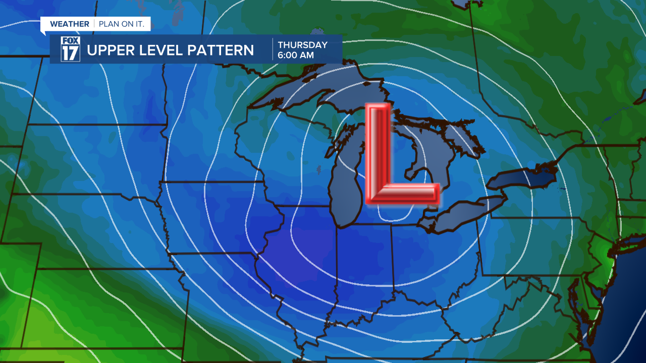
WEST MICHIGAN — This week will likely bring our first snowflakes of the season! We expect temperatures to cool to around 32 degrees Wednesday night into Thursday morning. That temperature, coupled with a low pressure system overhead, and some lake effect influence from Lake Michigan, will likely generate some snow showers (or at least a rain/snow mix). The thumbnail image tied to this story shows what the weather map may look like Thursday morning at 6 A.M.
Forecast models are showing the possibility of a 1" to 3" accumulation, mainly on grassy areas and colder surfaces. That said, if the snow comes down hard and fast enough and we get a quick burst, it can easily overcome the warm ground and begin to accumulate on the pavement making for some slippery spots Thursday morning. Take a look at the forecast model image below. This is from our in-house GRAF model.

In addition to snow showers, off/on rain showers are likely most of this week. These showers are being generated by two sources. One, a low pressure system over the state. Two, the warmer waters of Lake Michigan that will generate lake-effect precipitation. Take a look below at the total rainfall expected through Friday at 6 P.M.

Take a look at the precipitation chances over the next several days. Running high, with the pink box on Thursday denoting a rain/snow mix during the first half of the day.

Our upper level jet stream and pattern will change this week, driving colder changes with highs only in the 40s. Mid 40s is normal/average for this time of year, and we expect highs in the low/mid 40s Thursday through Sunday. See our forecast model of the upper level pattern below. Note the deep trough or dip in the jet stream and the colder colors on the map. These colors represent air masses. The blue colors denote normal to slightly below normal temperatures.

Winds will be the other factor this week. Our wind speeds will ramp up each day at about 10 to 20 miles per hour with some higher gusts likely. Again, being driven by the low pressure area and the colder air. Make sure to stay up on later forecasts! Get the complete forecast at www.fox17online.com/weather.


