


WEST MICHIGAN — Get ready for a humidity hiatus!
The last four days of July and first four of August have featured dew points in the 60s or 70s with highs in the middle to upper 80s, making for a muggy stretch after an overall cooler July.
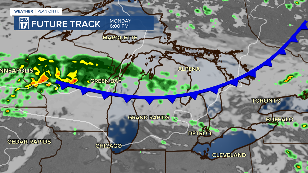
Now, the first full week of August looks to jump back to the 70s, after a cold front brings rounds of storms.
Grand Rapids average high is 83 degrees from June 29 to July 30. August starts with an average high of 82, ending the month with 79 degrees for an average high.
But, were looking at a wave of early-September air come Tuesday.

Even beyond, the 8 to 14 day outlook, through August 16, has us with likely cooler than average air.

If this forecast trend continues, we will have minimal opportunity to see another 90 degree day. Our average last is August 19, and our last occurrence in 2024 so far is June 19.
For the latest details on the weather in West Michigan, head to the FOX 17 Weather page.
Follow FOX 17: Facebook - X (formerly Twitter) - Instagram - YouTube