


The forecast from FOX 17 Meteorologist Kara James: After a good soaking rain this morning, temperatures soared into the 50s and low 60s, with record highs tied or broken for the day! It will be mostly clear and mild overnight with lows in the mid 30s, and not as breezy. Patchy dense fog possible in Mecosta and Montcalm counties through 7 a.m. A few more rain showers, and rumbles of thunder, are likely Thursday evening/night as a secondary low pressure system arrives. Rain transitions to a wintry mix and then all snow as temperatures fall on Friday into the lower/mid 40s, with little to no accumulation. Cooler temperatures are expected by the weekend with highs falling back into the 30s with some lake effect snow showers possible...especially on Sunday. The longer range forecast models indicate that overall, we may see temperatures remain above normal into early March. Normal highs for this time of year have us in the mid 30s.
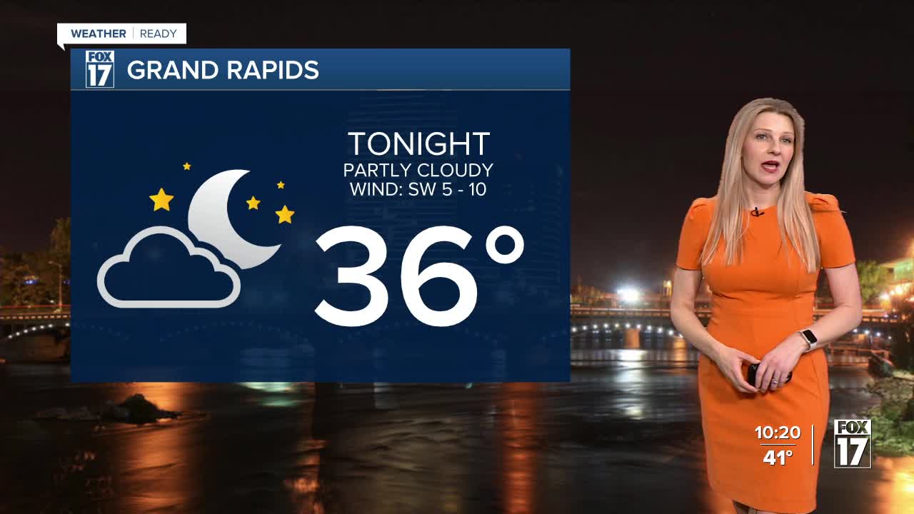
TONIGHT: Partly cloudy. Lows in the mid 30s. Winds south-southwest at 5 to 10 mph.
THURSDAY: Partly cloudy to partly sunny, still unseasonably warm. Rain showers developing in the late evening and overnight. Highs in the mid 50s. Winds southeast at 5 to 10 mph.
FRIDAY: Mostly cloudy with rain showers likely, especially early. Some snowflakes may mix in. Cooler too. Highs in the mid 40s.
SATURDAY: Partly sunny to mostly cloudy and cooler. Highs in the mid 30s.
SUNDAY: Mostly cloudy with a chance of snow showers. Highs in the lower 30s.
MONDAY: Partly sunny to mostly cloudy. Chance of snow showers or flurries. Highs in the low 30s.
TUESDAY: Partly cloudy and cool. Highs in the low 30s.
WEDNESDAY: Chance wintry mix. Highs in the upper 30s.
For the latest details on the weather in West Michigan, head to the FOX 17 Weather page.
Follow FOX 17: Facebook - X (formerly Twitter) - Instagram - YouTube
