
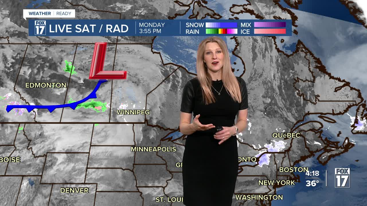


WEST MICHIGAN — From Fox 17 Weather Ready Meteorologist Kara James: An active weather pattern sets up across the Great Lakes this week, with multiple chance for snow and much colder temperatures. The first active system will be tomorrow into Wednesday, initially starting with light rain and drizzle during the day, transitioning to snow by Wednesday morning. There is Arctic air behind that cold front, and it will stay very cold and breezy for the remainder of the week. Lake effect snow will be especially likely most days this week, with small amounts possible each day but gradually accumulating and causing slick spots on the roads. Areas east of 131 have a better chance of staying dry Wednesday and Thursday. Friday into the weekend another push of colder air arrives, with more light snow.
TONIGHT: Partly cloudy. Lows around freezing. Winds; SW 5-15 mph
TUESDAY: Mostly cloudy with scattered light showers. Highs in the low 40s. Winds: SW 15-25 mph & Gusty
WEDNESDAY: Brief wintry mix to snow showers and breezy. Highs in the low 30s.
THURSDAY: Sharply colder. Partial sunshine, lake effect snow. Highs in the mid-20s.
FRIDAY: Cold with highs in the upper 20s. Chance snow showers.
SATURDAY: Cold with chance snow showers. Highs around 30.
SUNDAY: Mostly cloudy. Few flurries/snow showers. Highs in the mid-20s.
For the latest details on the weather in West Michigan, head to the FOX 17 Weather page.
Follow FOX 17: Facebook - X (formerly Twitter) - Instagram - YouTube
