


WEST MICHIGAN — From Fox 17 Weather Ready Meterologist Terri DeBoer. Slippery road conditions are likely for your Friday morning travels. Any lingering snow showers will gradually come to an end. Overall, expect cold and quiet conditions today, with highs near 30-degrees. Grab a heavy coat as wind chills "feels-like" readings will hold in the teens to near 20-degrees. Conditions will remain cold and quiet tonight into early Saturday, but travel conditions will deteriorate quickly Saturday by midday into Saturday night as a significant winter storm system moves into the region with widespread snow likely. A WINTER STORM WATCH has been issued for the weekend.
TODAY: Cold and quiet. Morning snow showers winding down. Highs near 30-degrees. Winds: NW 10-20 mph
TONIGHT: Mostly cloudy. Cold and quiet. Lows in the low 20s. Winds: W 5-10 mph
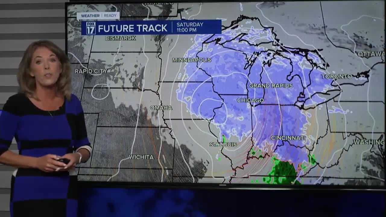
SATURDAY: WINTER STORM WATCH Quiet start. Snow developing; becoming widespread and heavy. Highs near 30-degrees. Winds: SE 10-20 mph
SUNDAY: WINTER STORM WATCH Widespread snow. Highs in the low 30s. Lows: mid-20s
MONDAY: Few lake effect snow showers. Highs in the upper 20s.
TUESDAY: Cold and quiet. Highs in the upper 20s.
WEDNESDAY: Cold and quiet. Few snow showers. Highs near 30-degrees
THURSDAY: Cold and quiet. Highs near 30-degrees
FRIDAY: Cold and quiet. Highs in the upper 20s.
For the latest details on the weather in West Michigan, head to the FOX 17 Weather page.
Follow FOX 17: Facebook - X (formerly Twitter) - Instagram - YouTube
