


WEST MICHIGAN — From Fox 17 Weather Ready Meteorologist Kara James: The pattern has started the shift to dryer conditions as an Arctic high nudges closer. This will change the wind direction out of the east/northeast the next few days, keeping lake effect snow away. However, extremely cold air will slide into West Michigan with the Arctic high, and temperatures overnight will fall to -5 to -10. Even as wind is less than 10 mph, wind chills will be in the -10 to -20 range which is dangerously cold. Highs Friday will be around 10 to the low teens. Roads will stay slick and icy as temperatures remain below the point where the road salt will be effective. With the high pressure in place tomorrow and through the weekend, we will finally get some sunshine each day! Morning temperatures remain very cold, around 0, but afternoons will warm up into the 20s by Sunday. Next week features highs in the 20s and chances for light snow.
There is the potential for flight delays and cancellations due to the continued extreme winter weather. Here's the direct link to the Flight Tracker at the Gerald R. Ford International Airport
TONIGHT: Dangerously cold. Morning temperatures: -5 to -10. Wind Chills: -15 to -20 Wind: NE 5-10 mph
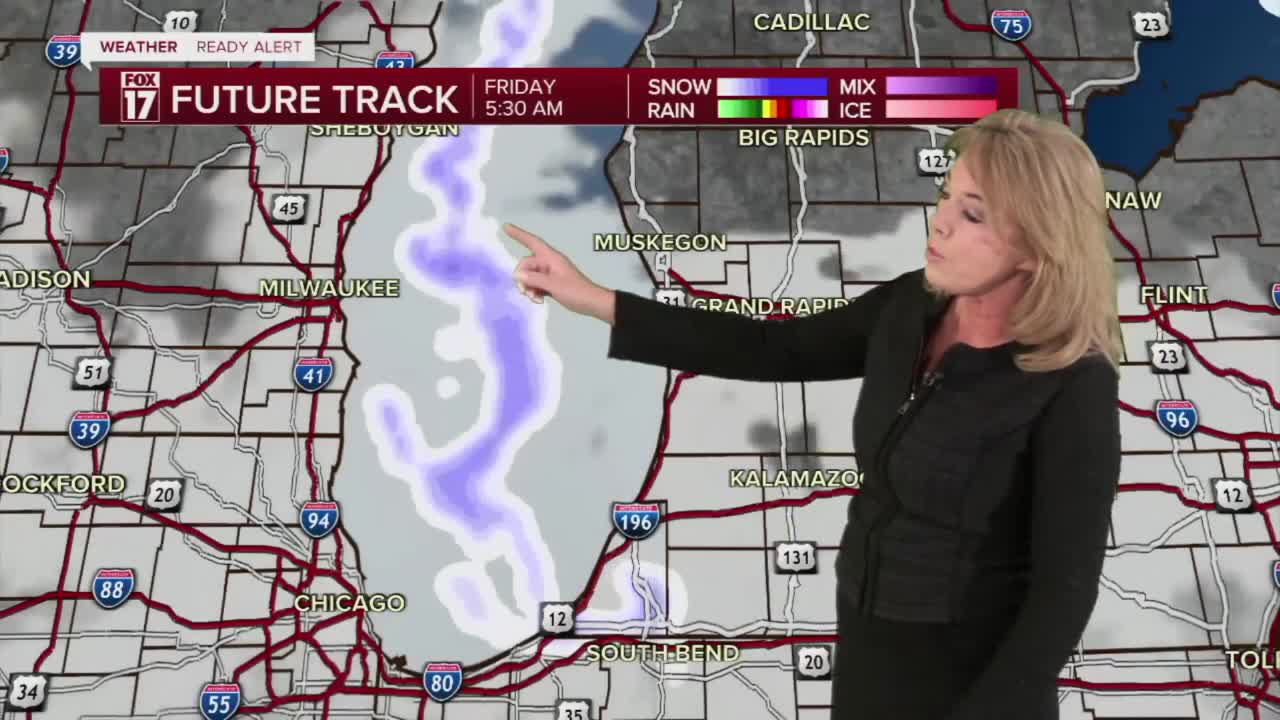
FRIDAY: Partly sunny and frigid cold. Highs around 10. Winds: NE 5-10 mph
SATURDAY: Partly cloudy and cold. Highs in the upper teens.
SUNDAY: Partly cloudy. Highs in the low 20s.
MONDAY: Partly cloudy with chance snow showers. Not as cold. Highs in the mid-20s.
TUESDAY: Partly cloudy with chance snow showers. Highs in the mid-20s.
WEDNESDAY: Partly cloudy. Chance Snow Showers. Highs in the mid-20s.
THURSDAY: Mostly cloudy. Chance late day snow showers. Highs: mid-upper 20s.
For the latest details on the weather in West Michigan, head to the FOX 17 Weather page.
Follow FOX 17: Facebook - X (formerly Twitter) - Instagram - YouTube
