


WEST MICHIGAN — The forecast from FOX 17 Meteorologist Terri DeBoer: We are tracking a blustery day across West Michigan as a strong cold front marches through the region. A very mild morning (with temperatures in the 70s) will give way to a much cooler afternoon as temperatures drop into the 50s by late afternoon. Storm chances continue to shift to the southeast. Here's the latest severe weather outlook area from the Storm Prediction Center. Extreme southeast Lower Michigan is included in the Slight Risk Area (Level 2 out of 5, above) for severe storms later this morning into the early afternoon, with gusty winds and possibly hail as the main threats. Patchy frost is possible by daybreak Wednesday, with clearing skies. Wednesday will be a cooler day but mostly sunny, before another system brings widespread rain for most of Thursday into early Friday. The weekend should be dry, with highs near 70-degrees by Sunday.
TODAY: Windy and mild morning. Windy and turning cooler during the afternoon. Highs in the mid 70s, then falling to the 50s later in the day. Winds: SW-W 15-30 mph (Gusts to 45 mph)
TONIGHT: Clearing skies with patchy frost. Lows near 32. Winds: N 5-15 mph
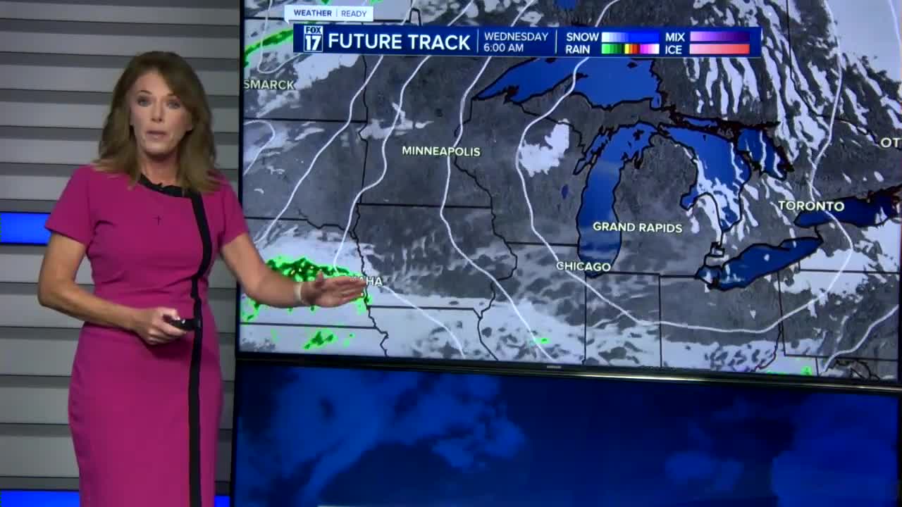
WEDNESDAY: Partly cloudy and cooler. Highs in the low 60s. Winds: SE 5-10 mph
THURSDAY: Mostly cloudy with widespread rain likely. Chance isolated thunderstorm. Highs in the low-60s.
FRIDAY: Early day rain, then clearing. Breezy and much cooler. Highs in the upper 50s to near 60-degrees
SATURDAY: Partly Cloudy, cooler. Highs near 60-degrees
SUNDAY: Partly cloudy, pleasant. Highs in the upper 60s.
MONDAY: Mostly sunny and warmer. Highs in the mid-70s.
TUESDAY: Mostly sunny and pleasant. Highs in the mid-upper 70s
For the latest details on the weather in West Michigan, head to the FOX 17 Weather page.
Follow FOX 17: Facebook - X (formerly Twitter) - Instagram - YouTube