
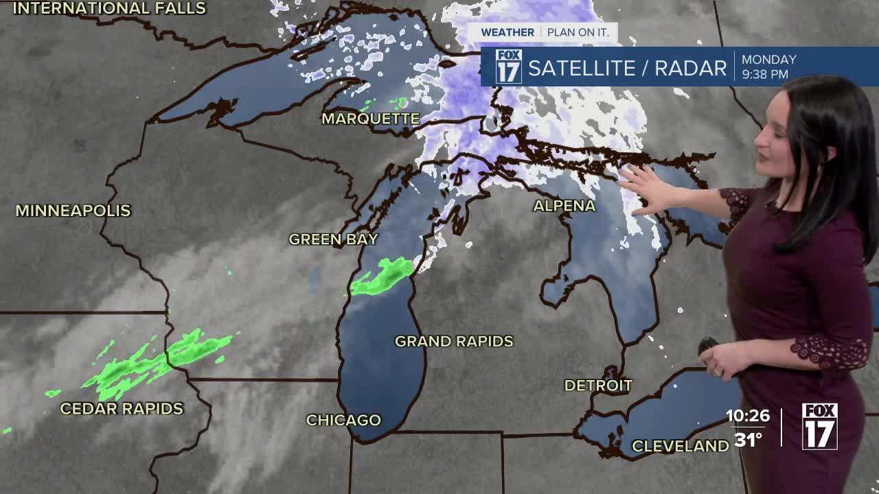


WEST MICHIGAN — The forecast from Meteorologist Haleigh Vaughn: A weak clipper will bring a rain and snow mix overnight through Tuesday. Any accumulations will be limited, mainly on grassy surfaces. We continue to monitor possible flooding as snow keeps melting and ice jams are possible along area rivers this week. A FLOOD WARNING is in effect along the Grand River near Comstock Park until next Sunday and A FLOOD WARNING is in effect along Maple River near Maple Ridge until further notice. Click here for river level status. Cloud cover will linger into Wednesday and Thursday, with more sunshine on Friday and this weekend. As for our winter warmth, there are indications that our temperatures will stay above normal into the first week of February. Stay alert and informed with the FOX 17 Weather Team.
TONIGHT: Mostly cloudy. Rain / snow mix developing after midnight. Lows in the lower 30s.
TUESDAY: Cloudy with rain/snow showers likely in the morning, with a chance in the afternoon. Highs in the mid/upper 30s.
WEDNESDAY: Mostly to partly cloudy. Highs in the upper 30s.
THURSDAY: Mostly cloudy. Highs in the lower to middle 40s.
FRIDAY: Partly cloudy to mostly sunny. Highs in the upper 30s.
For the latest details on the weather in West Michigan, head to the FOX 17 Weather page.