
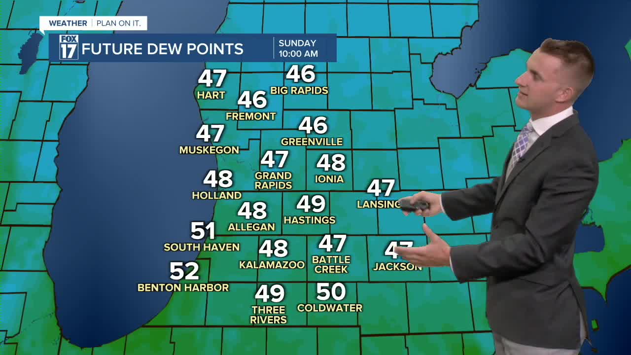


WEST MICHIGAN — The forecast from FOX 17 Meteorologist Reece Cole: The FOX 17 viewing area remains under a LEVEL 1 or MARGINAL RISK for severe storms this evening. Hail and wind are the primary threats. The humidity will ramp up significantly (briefly) on today as a warm front lifts into the state. Dew point temperatures drop, providing cooler, drier, more refreshing air mass for Sunday and Monday with highs in the low to mid 70s. We dry with sunshine planned for both Sunday and Monday before more shower and storms chances ahead for the holiday week. Stay alert with FOX 17 News for your latest forecast.
TONIGHT: Mostly cloudy to partly cloudy. Lows in the upper 50s.
SUNDAY: Mostly sunny to partly cloudy and comfortable. Highs in the lower 70s.
MONDAY: Mostly sunny to partly cloudy. Highs in the upper 70s.
TUESDAY: Mostly to partly cloudy with showers and thunderstorms likely. Highs in the lower 80s.
WEDNESDAY: Mostly to partly cloudy with showers and thunderstorms likely. Highs in the lower 80s.
4th of July: Partly sunny with the chance of an evening shower. Highs in the lower 80s.
For the latest details on the weather in West Michigan, head to the FOX 17 Weather page.
Follow FOX 17: Facebook - X (formerly Twitter) - Instagram - YouTube
