


The forecast from FOX 17 Chief Meteorologist Kevin Craig: After a day filled with sunshine on Saturday, look for the clouds to thicken tonight and on Sunday as a warm front lifts into the state giving us the chance for a few light showers. A cold front approaches Monday bringing slightly better chance at showers in the morning and eventually cooler temperatures. Tuesday and Wednesday will be in the 40s to near 50, a good 5 to 10 degrees below average, before highs bounce back later in the week. We expect more shower chances as we head into later portions of the week. Currently, no snow or severe weather is expected over the next several days. "Average/Normal" highs are currently in the mid 50s. Stay tuned to FOX 17 for the latest forecast updates.
TONIGHT: Becoming mostly cloudy. Chance of a shower toward daybreak. Lows around 40. Winds south-southeast at 5 to 10 mph.
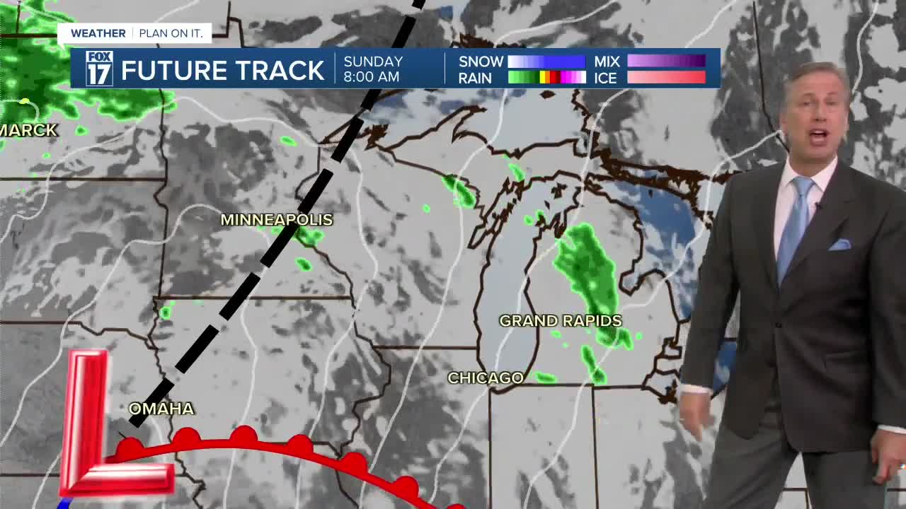
SUNDAY: Partly sunny to mostly cloudy. Slight chance of light showers. Highs around 60. Winds south-southeast at 10 to 15 mph.
MONDAY: Morning clouds with a chance for a shower, otherwise afternoon sunshine and breezy. Highs in the lower 60s.
TUESDAY: Mostly cloudy, breezy, and cooler with a shower possible. Highs in the mid/upper 40s.
WEDNESDAY: Mostly sunny with highs in the upper 40s to near 50.
THURSDAY: Partly cloudy with isolated showers. Highs in the upper 50s.
FRIDAY: Mostly cloudy with isolated showers possible. Highs in the mid-50s.
For the latest details on the weather in West Michigan, head to the FOX 17 Weather page.
Follow FOX 17: Facebook - X (formerly Twitter) - Instagram - YouTube