
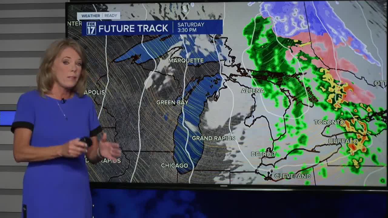


WEST MICHIGAN — The forecast from FOX 17 Meteorologist Terri DeBoer: After a very mild Saturday (by mid-November standards) across West Michigan, a huge change is brewing! Clearing skies toight will come along with colder temperatures into early Sunday morning, with lows in the mid-30s. Temperatures will be close to "average" for Sunday, with highs in the mid-40s. Plenty of sunshine is on the horizon for Sunday. The overall storm track stays mainly to our south next week, so no major storms are on the horizon. High temperatures will stay near "average", in the mid-40s for most of the week. The next system that could bring meaningful rain won't arrive until later Thursday into Friday. Stay tuned to FOX 17 for your latest forecast.
TONIGHT: Clearing skies and colder. Lows in the mid-30s. Winds: NW 10-20 mph
SUNDAY: Breezy and not as warm. Plenty of sunshine. Highs in the mid to upper 40s. Winds: NW 15-25 mph
MONDAY: Partly cloudy and cool with highs in the low 40s.
TUESDAY: Mostly cloudy and cool. Highs in the mid 40s.
WEDNESDAY: Mostly cloudy with highs in the mid to upper 40s.
THURSDAY: Mostly cloudy with highs in the mid 40s. Chance of rain in the evening and overnight.
FRIDAY: Mostly cloudy with showers likely. Highs near 50-degrees.
SATURDAY: Scattered showers. Highs in the upper 40s.
For the latest details on the weather in West Michigan, head to the FOX 17 Weather page.
Follow FOX 17: Facebook - X (formerly Twitter) - Instagram - YouTube
