


WEST MICHIGAN — The forecast from FOX 17 Meteorologist Terri DeBoer: Considerable cloudiness will fill the skies across West Michigan tonight, keeping overnight temperatures in the 30s. Sunday will be a bit breezier and "milder" with mostly sunny skies and highs flirting with 50-degrees. Rain will arrive later Monday into Tuesday as a larger system moves in for Tuesday into Wednesday, with some much-needed widespread rain likely. This system will be strong enough to draw much colder air into West Michigan starting Wednesday into Thursday (Thanksgiving Day); which could produce some slippery travel conditions for the holiday rush. The colder air lingers with the chance for lake effect snow showers Thursday into Black Friday! Stay tuned to the FOX 17 Weather Ready Team for your latest forecast.
TONIGHT: Considerably cloudy. Not as cold. Lows in the mid-30s. Winds: NW 5-10 mph
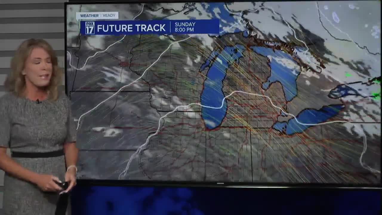
SUNDAY: Mostly sunny. A bit breezy. Highs around 50. Winds: NW 10-20 mph
MONDAY: Partly cloudy with rain arriving later in the evening. Highs in the low 50s.
TUESDAY: Mostly cloudy with widespread rain. Highs in the low 50s.
WEDNESDAY: Scattered showers; Snow may begin to mix in with the rain. Highs in the upper 30s.
THANKSGIVING: Much colder with scattered snow showers, especially near the lakeshore. Highs in the low to mid 30s.
FRIDAY: Cold with scattered lake effect snow showers. Highs in the low to mid 30s.
SATURDAY: Cold and quiet. Highs in the mid-30s
For the latest details on the weather in West Michigan, head to the FOX 17 Weather page.
Follow FOX 17: Facebook - X (formerly Twitter) - Instagram - YouTube
