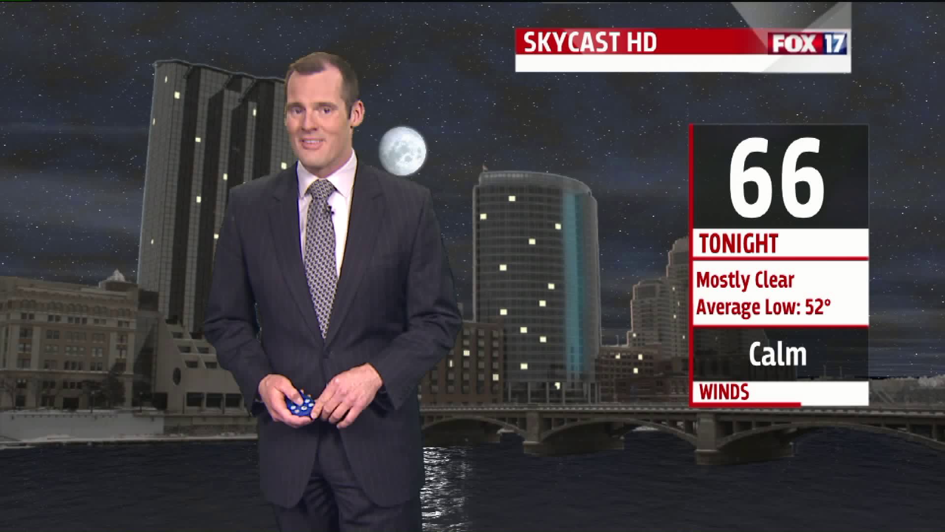
GRAND RAPIDS, Mich. -- A new record high for the date was set in Grand Rapids today. The mercury climbed to 93° just after 3:30 this afternoon, besting the old record of 92° set back in 1911. The Muskegon airport tied a record high for the date at 86°, equaling the high temperature set on this date in 2012.
Tomorrow looks even hotter, as the ridge of high pressure responsible for this late spring heat wave reaches maximum strength. Future Track HD is forecasting highs in the middle 90s away from Lake Michigan:

If we do hit 95° in Grand Rapids, that will smash the record high for May 28th by three degrees:

It would also be our hottest Memorial Day ever, bearing in mind that the holiday takes place on different dates throughout the years. The hottest Memorial Day in Grand Rapids occurred back in 1919:

Meanwhile, "Alberto" continues to churn the waters of the Gulf of Mexico. The National Hurricane Center is still calling it a subtropical storm, as it doesn't entirely have tropical characteristics. But it does have maximum sustained winds of 50 mph near its center, according to the latest advisory sent out at 5:00 PM eastern time. It also has a lot of moisture to work with. Here is a look at the satellite/radar composite showing Alberto's position in the Gulf:

Alberto is moving toward the north/northwest at 12 mph. This general motion -- with a bit of a drop in speed -- is expected over the next few days. This will bring the storm close to West Michigan by midweek. In fact, we'll be watching for moderate to heavy rainfall potential with Alberto's remnants on Wednesday and Thursday:

We'll continue to watch the hot temperatures -- along with our rainfall potential -- over the next several days. Keep it tuned to FOX 17 for updates!


